
ACTIVITY · YEAR-ROUND
Hiking at Semmering & railway trail
Why it’s special
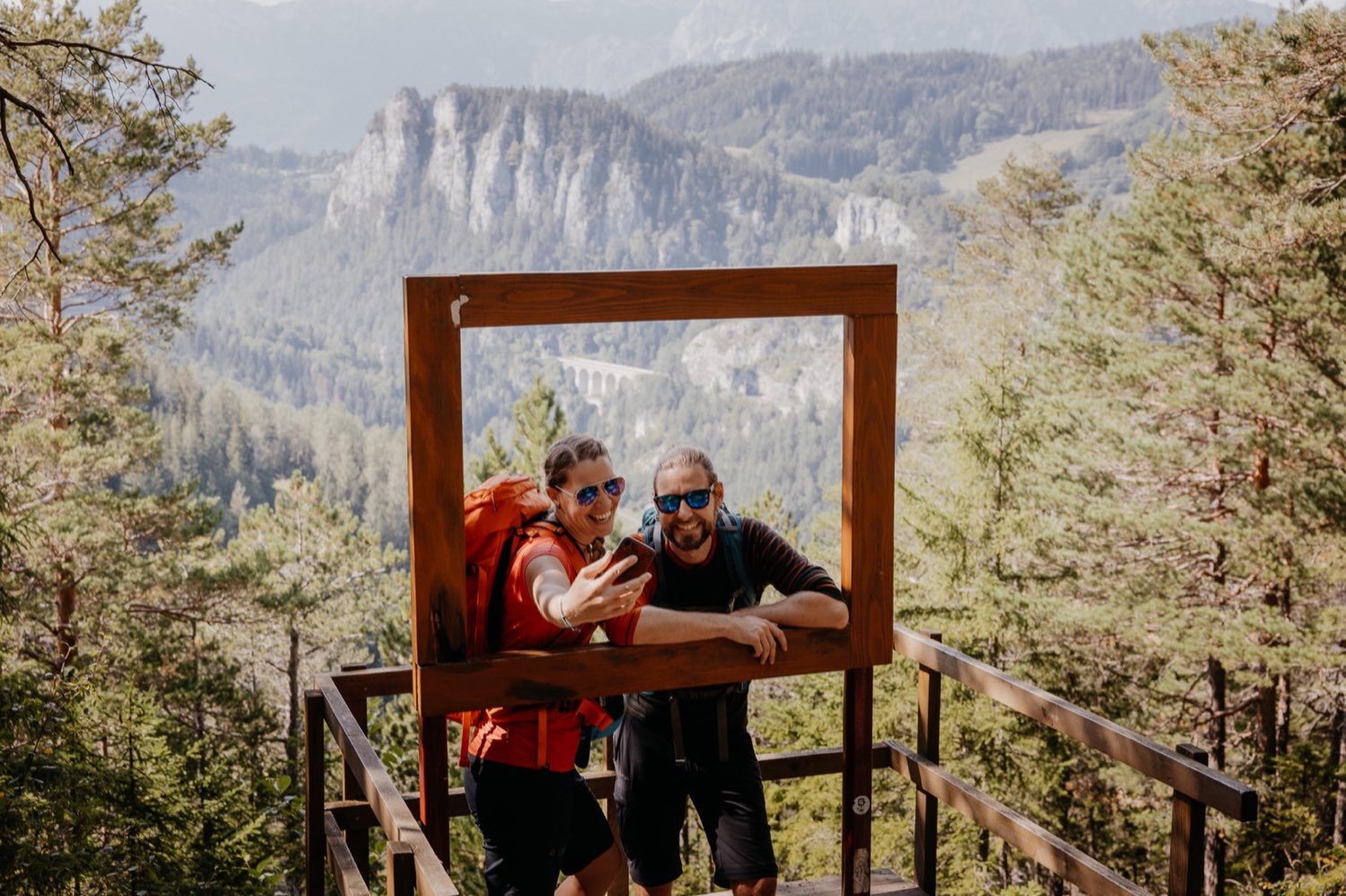
Marked mountain routes around Semmering & Rax — and the railway trail along the UNESCO World Heritage Semmering railway.
What does your hiking day cost? Solo: ride up €22 + walk down free. Family (2 adults + 2 children 6–14): up & down 2×€31 + 2×€20 = €102 — under-6s always free. Groups of 20+: up & down €28/23/18.
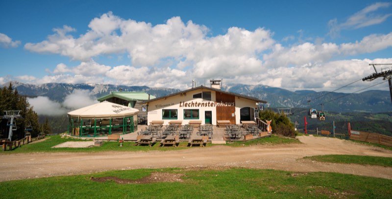
Afterwards:Reserve a panoramic snack bench (snack + drink) or stop at the Liechtensteinhaus — staying longer? The Sporthotel is 8 min from the cable car, SPA included. Hotel packages →
Ideal for :
Family tip: Hotel guests: −10% on lift passes (voucher at reception).
- flexible
- all
- easy–medium
- UNESCO
Good to know
Hiking routes — distance, time & vertical
Hirschenkogel / Millenniumswarte — 7 km · 2 h · 344 m · easy (from the valley station up a 3.5 km forest road to the summit 1,340 m, stop at the Liechtensteinhaus).
Panorama hike Sonnwendstein–Hirschenkogel — 11.5 km · 4 h · 703 m · medium (via Pollereshütte, Bergkircherl 1,523 m & Erzkogel).
Panorama hike with the cable car — 8.13 km · 210 m up · easy (ride the cable car up, walk down: half the distance, all the views).
Pilgrim loop Semmering–Maria Schutz — 7.7 km · 2½ h · 274 m · medium (church & Lourdes grotto).
Kummerbauerstadl tour — 16.5 km · 5¾ h · 800 m · medium.
Semmering Zauberblick loop — 10 km · 3 h · 250 m · easy.
Gebirgsjäger trail — 12.5 km · 4 h · 770 m · moderate (currently closed).
Plus an easy walk with a pond loop (Panhanswiese → snowmaking pond → pass).
Railway trail (Lower Austria)
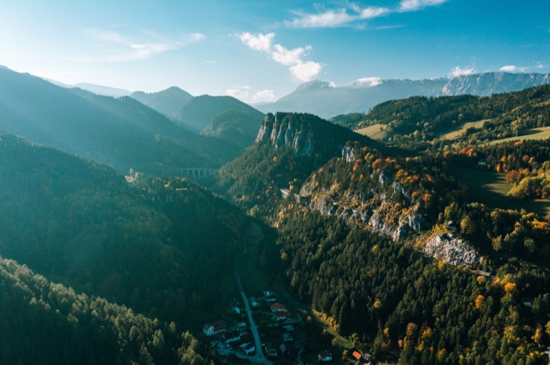
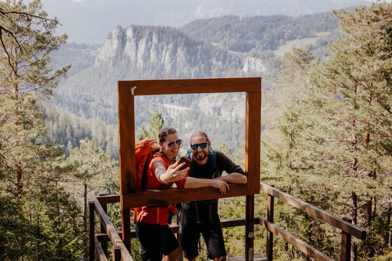
Starts at Semmering station and follows the historic track of the UNESCO World Heritage Semmering railway — past great viewpoints of the line’s centrepiece. Freely planned, ending e.g. in Breitenstein, Klamm, Payerbach or Gloggnitz; comfortably back by train. The new info centre at the station explains the World Heritage site.
Stages from Semmering station: Breitenstein 10.05 km (2:50 h, medium) · Payerbach 20.29 km (5:11 h) · panorama route Breitenstein–Klamm 5.91 km.
Dining stops on the way: Blunzenwirt, Gasthof Polleres, Konditorei Alber. Note (as of July 2026): the section between Semmering station and Wolfsbergkogel is currently closed — a signposted alternative runs along the Südbahnstraße.
Railway trail (Styria)
Themed trail: Peter Rosegger accompanies hikers and meets notable contemporaries — a little cultural history of the Styrian Semmering. About 17 km from Semmering station over the Hochstraße through Steinhaus & Spital am Semmering to Mürzzuschlag station.
Summit & dining
The Millenniumswarte on the Hirschenkogel offers a panorama across the Semmering-Rax-Schneeberg area to the Vienna basin. Local hut hosts with regional treats, picnic benches along the way & the sun terrace of the Liechtensteinhaus at the summit. By the way: the official Wiener Alpen panorama route passes right by the Sporthotel — the forest path towards Maria Schutz starts there.
Hiking at the Semmering in pictures
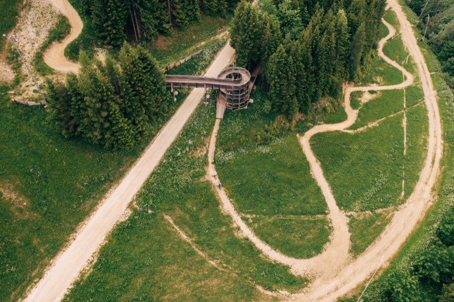
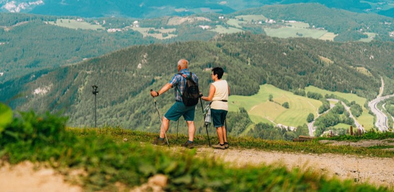
Marked paths all over the mountain 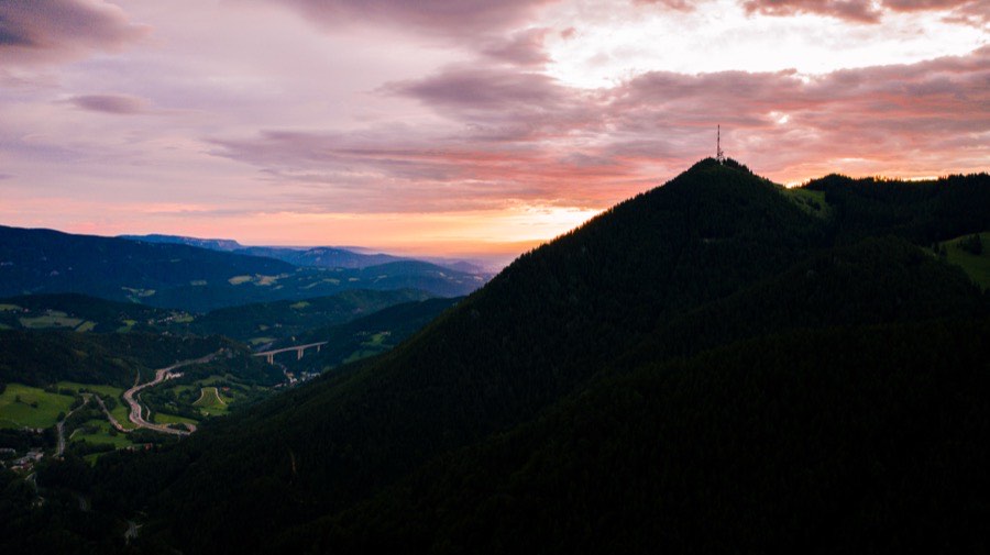
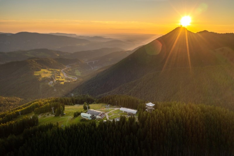
Summit views at sunset 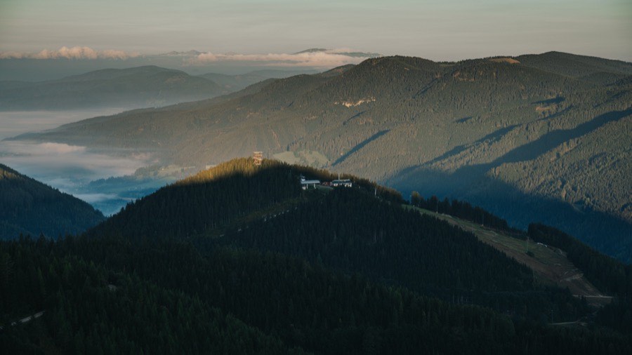
Wide views over the Vienna Alps 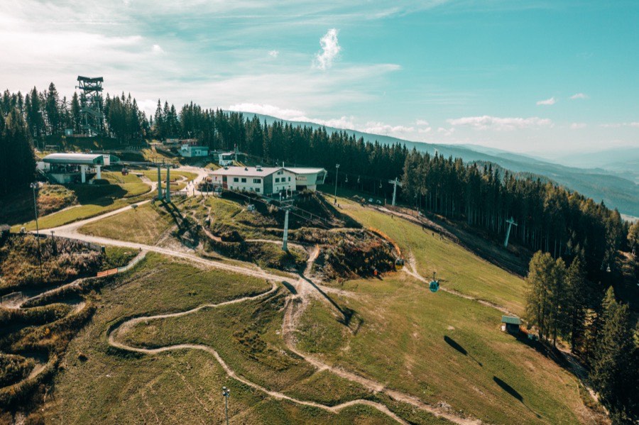
A sea of fog at sunrise 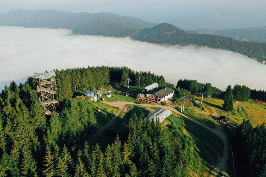
The Hirschenkogel above the clouds 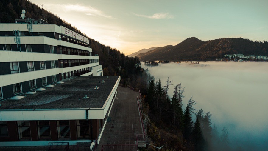
Summer-retreat history along the railway trail
In action
Step by step across the mountain.
Why it’s special
Your ticket for a day of hiking
Why it’s special
Goes well with
Matching package
As a day guest or with an overnight stay — your matching package
 Package valueBerg & Wandern unter der Wochefrom 410 €
 Package valueWander-Solo unter der Wochefrom 270 €
FAQ
Frequent questions
Which route is best to start with?
Hirschenkogel/Millenniumswarte: 7 km, about 2 hours, 344 m of climbing, easy — from the valley station up the 3.5 km forest road to the 1,340 m summit, with a stop at the Liechtensteinhaus.
What is the railway trail?
It starts at Semmering station and follows the UNESCO World Heritage Semmering railway — past superb viewpoints, freely planned as far as Breitenstein, Klamm, Payerbach or Gloggnitz, with an easy train ride back.
Is there a Styrian railway trail too?
Yes — as a themed trail with Peter Rosegger: around 17 km from Semmering station along the Hochstraße through Steinhaus and Spital am Semmering to Mürzzuschlag.
Which hikes are more demanding?
The Sonnwendstein–Hirschenkogel panorama hike (11.5 km, 4 hrs, 703 m up) and the Kummerbauerstadl tour (16.5 km, 5¾ hrs, 800 m). The Gebirgsjäger trail is currently closed.
Does hiking cost anything?
The paths are free — the ride up is optional and includes the Millenniumswarte, the Hirschi playground and the hiking routes.
Where can I stop for refreshments?
On the Liechtensteinhaus sun terrace at the summit, at local huts serving regional treats — or simply at a panoramic picnic bench.
Is there a really gentle loop?
Yes — the easy walk with the pond loop: Panhanswiese, the snowmaking pond and back to the pass.
Can I hike in winter too?
Yes — cleared high paths for winter and snowshoe hiking in crystal-clear air; the routes themselves are signposted year-round.
Next step
Where to next?

And in winter?
The same mountain becomes a snow world — 14 km of slopes, night skiing Thu–Sat, tobogganing & ski school.